
Learn More About Us
Rock Harbor Resort has been welcoming guests to the Lake of the Ozarks for over five decades. On this page, you’ll learn about our property’s history, the features that make us unique, and the family behind the operation—now in its third generation of management.
Rooted in the Lake of the Ozarks Community
For over 50 years, Rock Harbor Resort has been part of the Lake of the Ozarks experience. Our quiet cove location offers a peaceful retreat, while still keeping guests close to local attractions and lake activities. We take pride in sharing this beautiful area with visitors from all over.
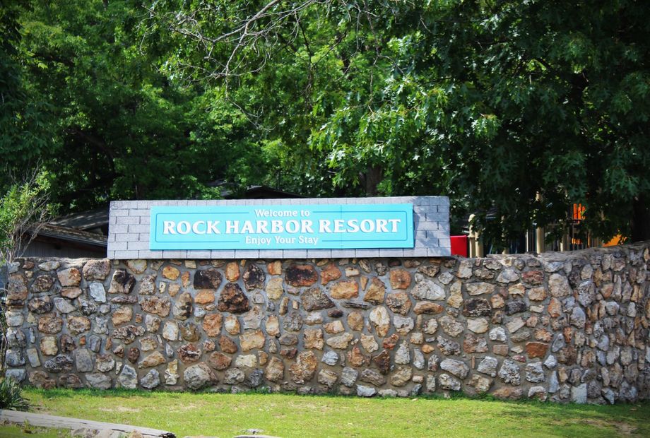
About Rock Harbor Resort
Built in the 1960s and purchased by the Glick family in 1973, Rock Harbor Resort has grown from 25 to 38 lodging units. Located in a quiet cove, the resort includes motel rooms, one- to four-bedroom units, boat slips, a gas dock, heated pool, recreation facilities, and spaces designed for gatherings.
Meet The Hosts
Bill and Joyce Glick purchased the resort in 1973, bringing years of hospitality experience. Their children, Cecelia and Wally, later took over, and today, Melissa—third generation—manages daily operations. With multiple generations now involved, the Glick family continues to offer a welcoming, family-oriented atmosphere to every guest who visits.
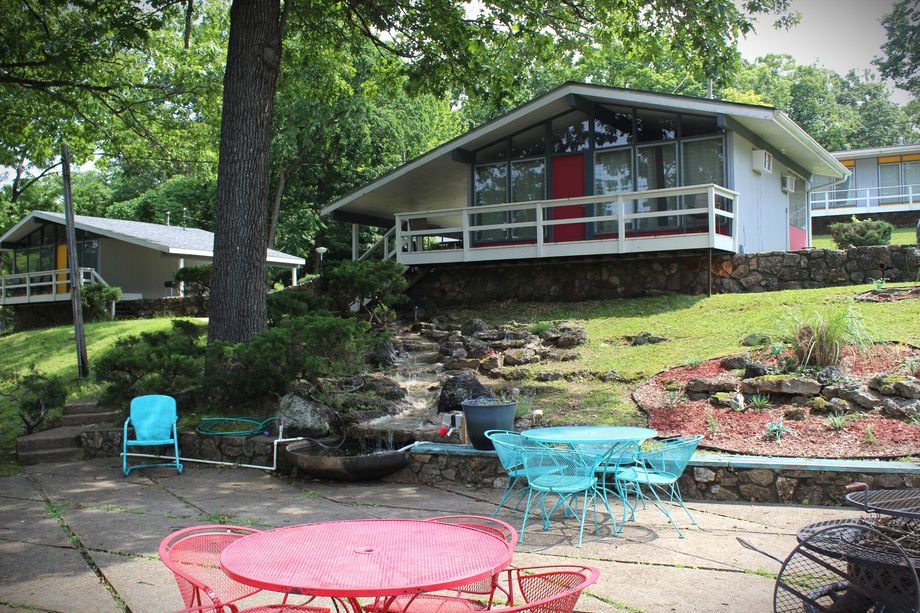
Quiet Cove Setting on the Lake
Rock Harbor Resort offers a peaceful location right on the water in a quiet cove off the main channel at the 8.5-mile marker. This calm setting is ideal for swimming, boating, and relaxing away from the busier areas of the lake, while still providing beautiful views and lakeside access.
We're also just a short drive or boat ride from many of the area's top attractions. Whether you're heading to a state park, local cave, shopping area, or golf course, everything is within reach. Our central Sunrise Beach location makes it easy to enjoy the lake and everything around it.